The mapping of Africa - R. Betz
a cartobibliography of printed maps of the African Continent from 1508 to 1700
Stockfoto
KORTE INHOUD
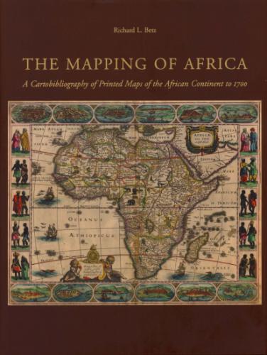
Volume 7 in the Utrechtse Historisch-Cartografische Studies. The Mapping of Africa systematically categorizes and provides an overview of all printed maps showing the entire African continent published from 1508 to 1700. The introduction contains information about the mapping of Africa before 1508, important world maps which include Africa, and a presentation of the major cartographic models developed for this book.
Details
2007 Uitgever: Hes & De Graaf Publishers Reeks: Utrechtse historisch-cartografische studies Nummer: 7 600 paginas Taal: Engels ISBN-10: 9061944899 ISBN-13: 9789061944898Koop dit boek tweedehands
bij volgende verkopers